

The Gaspé peninsula is the region south of the St. Lawrence River to the Gulf of St. Lawrence. It comes from a Mi’kmaq (First Nations people) meaning “end” referring to the end of the land. Traditionally the area relied on fishing, agriculture, and forestry. However, overfishing and overexploitation of resources have pushed much of the economy towards tourism and the service industry.
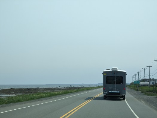
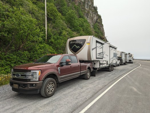
Quebec route 132 circles the peninsula, and it was the route we would be on for several travel days. From Camping Annies we were to go to a campground near Gaspé, QC. It was named Camping Baie de Gaspé and was very near the southern entrance to Forillon National Park.
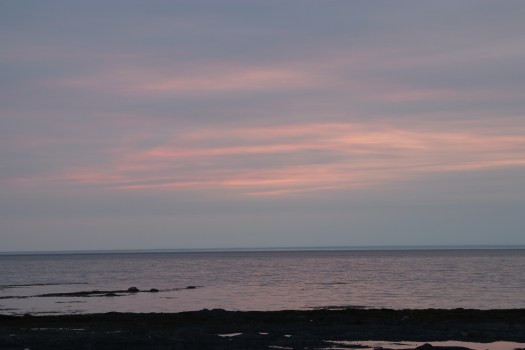
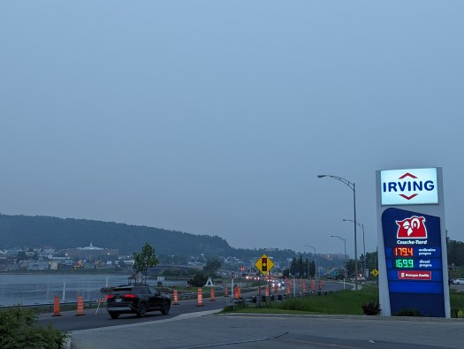
The last night we spent in Metis sur Mer, I drove into Mont Joli to get diesel. I was hoping the haze would give me a nice sunset as well, but it was only so-so. Still, I stopped at a local “halte” which are the numerous picnic spots found along route 132. Most of them won’t accommodate large vehicles, so we can’t use them as rest stops when towing. But this one was right on the water and certainly fit Rory. Even though this is still considered the St. Lawrence River, there are seashells on the beaches.


Sadly, we woke up to hazier conditions due to the wildfire smoke that so many have experienced. It would not leave us during our time in the area, so many of the photos are quite poor. Visibility was certainly not great.

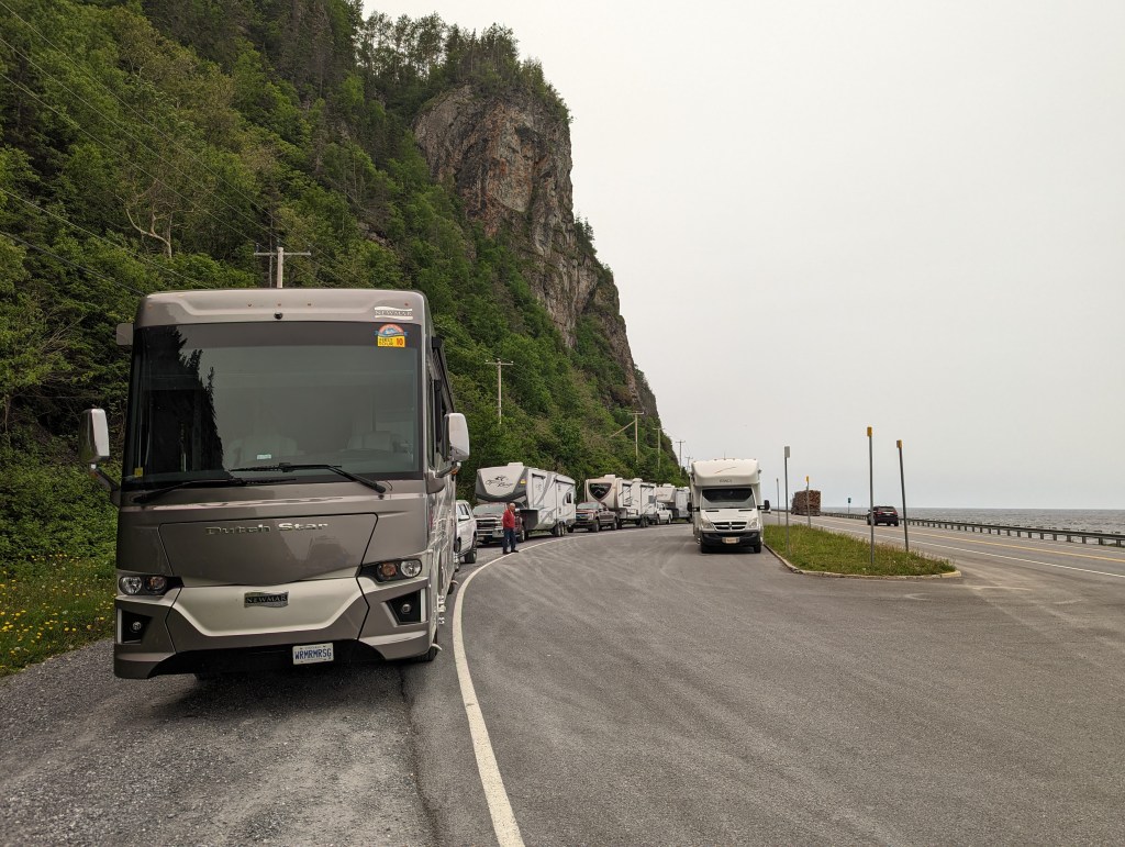
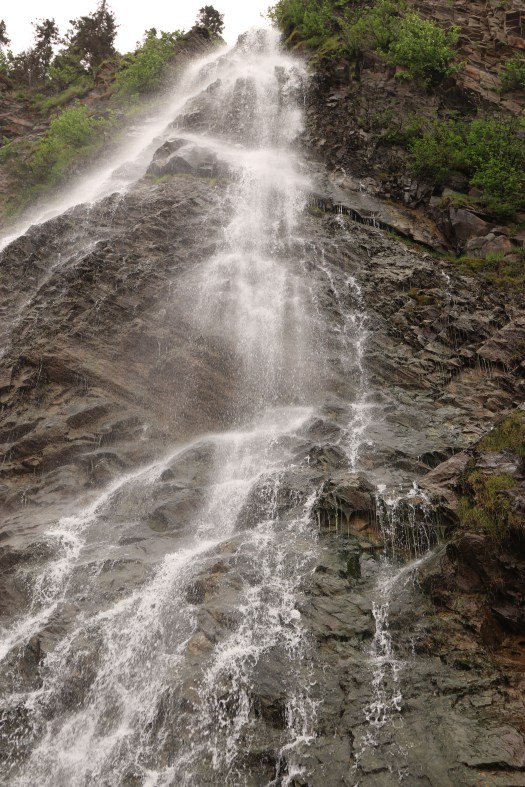
We had a stop marked in the book that mentioned a waterfall. It said the pull over would only fit about 5 rigs, but we made it work with more.


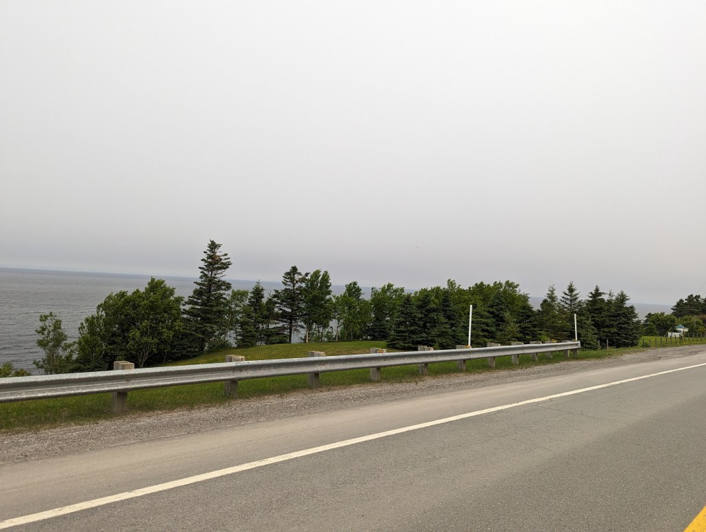
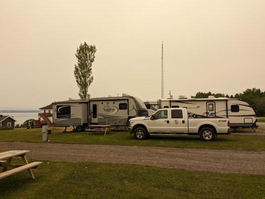
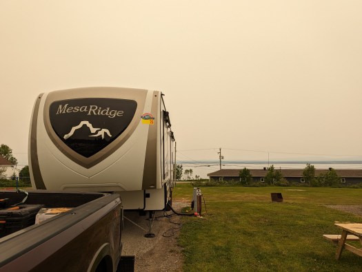
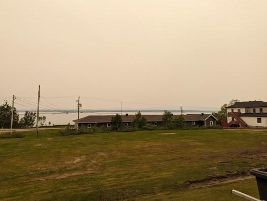
Sadly, the smoke and visibility seemed even worse when we arrived at our campground. Baie de Gaspe is, of course, pretty easy to translate: Bay of Gaspe. It was not near stores or towns; Gaspe itself was about 30 minutes south. But there was a nice plage, or beach, near it. And it had a water overlook, if only we could have seen it better.
There were a lot of seasonals up the hill from us; we were all down in back in spots. My power pedestal literally had a padlock on the 50 amp circuit, so I had to use the 30 amp. Which most of these campgrounds have been limited to, so no big deal. Still, I’ve never seen a circuit padlocked before.
We had a free day to explore Forillon National Park, the first national park located in Quebec. It was thought to have been named for a flowerpot seastack that’s since collapsed into the sea.
The park was created in 1970 after a subcontracting firm hired by the government bullied and harassed the 225 families living on the land to sell out at low fees. This expropriation eventually led to an official government apology in 2011.
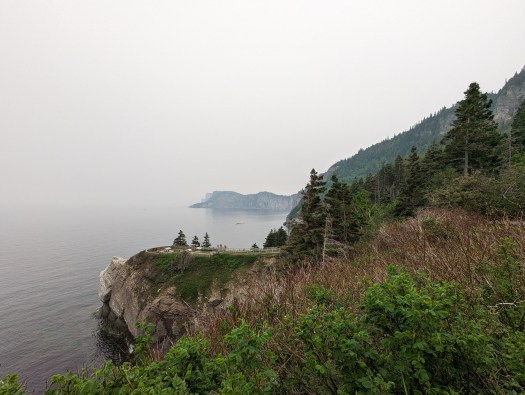
We were closest to the south entrance for the park. There’s a road that runs along the sea cliffs until it ends in a walking trail; if you walk a few Km there’s a lighthouse at the end. I met Jerry, Wendy, Charlie, and Rae for a picnic lunch at the trail head. However, given the smoke, none of us wanted to hike the trail. Apparently, the end near the lighthouse is quite steep.
I really didn’t take any pictures; it didn’t seem worth it. However, not all is lost. Our next stop, in Perce, was only 60 some miles down 132. We would have a free day there, and I spent it driving back to Forillon as the day was beautiful, smoke free, and I wanted to see the park in all it’s glory. The other motive was to go to the IGA and Canadian Tire stores as they were closed when we were in Gaspe due to a national holiday (St. John the Baptists day). So you’ll see them in the next post.
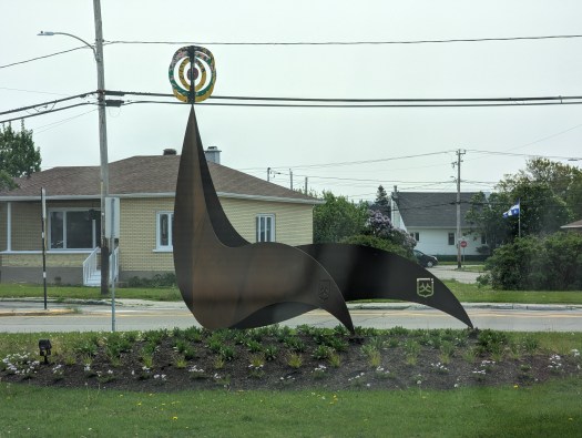
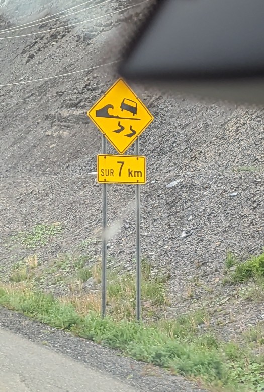
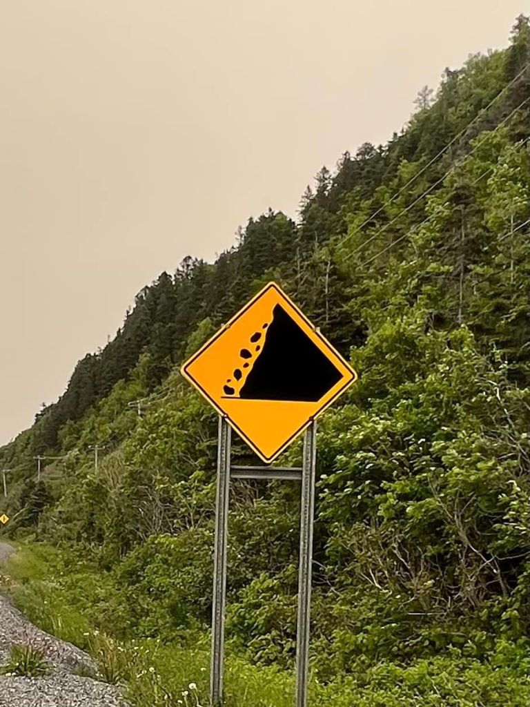
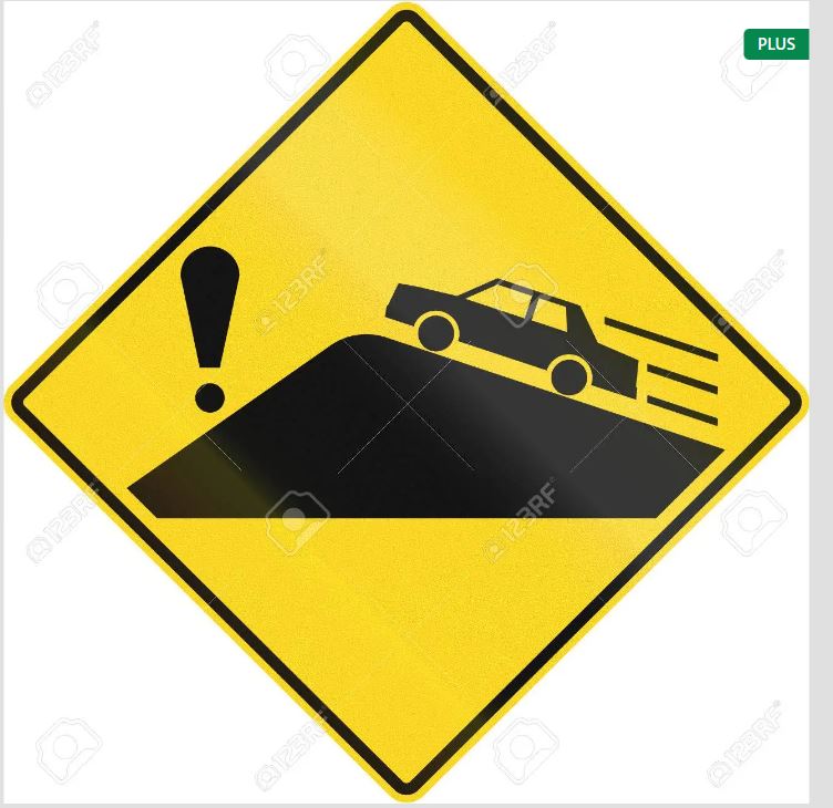
On a another note, we started to see some very interesting signs on 132. Some of which we could not interpret. Here are some examples.


Next post we go to Perce, take a boat tour, and I fly some of my kites.
