
I liked the RV park in Tok; we all got to wash the worst of the dirt/mud off the rigs, and there were actual trees and grass in the RV park and between sites. In fact, the site I had featured a tree that was within millimeters of my off door slide, but it fit. And there was a large-ish tree at the very front of my site on the driver’s side.
Thus, when it was time to leave in the morning, I came to the sad conclusion that there was no way I was going to be able to make the turn. Jerry and John R. agreed, and they both recommended that I back out.
Gulp.
John was going to help me, but Harry heard of the trouble and came over. In the meanwhile, I started backing up, watching my rear camera and my side cameras. I have NO idea what I did, but I backed out of that site and into the back road LIKE A ROCKSTAR. Or maybe the bus driver for said rockstar, as rockstars probably don’t back up large vehicles…ever. Harry told me I must have been a truck driver in another life.
So, we were on our way to Valdez, Alaska. It’s on a bay in Prince William Sound. And the drive was beautiful.

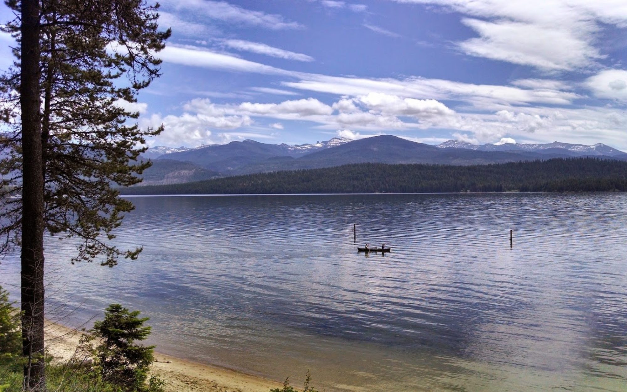
We took the Glenn Highway/Tok cutoff. I’d read in other places that the Tok cutoff was a nightmare of construction, frost heaves and gravel, but to be honest, it was pretty good compared to what we’d already driven. Not too long after leaving Tok, large snow-covered mountains began to appear, as well as signs for a ginormous national park: the Wrangell-St. Elias National Park and Preserve.
This is the largest national park in the United States. You could fit over 6 Yellowstones within it’s boundaries!! It has the second highest mountain in North America: Mount Saint Elias, at over 18,000 feet. Nine of the 16 highest peaks in the U.S. are within this park. Yet, there are only 2 roads that enter the park: both are gravel, and even during summer months may not be passable without a high clearance vehicle; combined together, they total less that 100 miles. Driving around to see it is simply not an option. However, we could easily see some of the mountains from the Tok cutoff, as it follows the western boundary of the park for a good distance.


We stopped a few times along the way to snap pictures and to stretch our legs. Not much wildlife was seen: a few moose in a large lake, but that was about it.


Once we got to Glenallen, we then headed south on the Richardson Highway, AK-4. Now, this road was along some of the most beautiful scenery I’ve ever had the pleasure of viewing. It also sucked big time–I thought it was among the worst to drive in terms of construction, heaving/dips, etc. But, as you ascend Thompson pass and then down the other side to Valdez, it was just breath taking!


Once over the pass, you come to Keystone canyon, where there are two waterfalls in quick succession right as you’re driving along the road.


I really, really loved Valdez. We arrived on July 3rd. Our park was right down across from the marina. I had some amazing salmon for dinner and shopped a bit at the Safeway. Then, it was off to bed ready to celebrate the Fourth the next day.

Wow. Thanks for sharing these outstanding photos.
LikeLike
Wonderfull pictures!
LikeLiked by 1 person
Thank you
LikeLike
Absolutely breathtaking pictures, this trip looks like it could be a life changer for sure.
LikeLiked by 1 person
It’s been amazing. Got to eat breakfast with Uncle Lynn and Aunt Cheri in Wasilla a few days ago.
LikeLike
Great pictures!
LikeLiked by 1 person
Thank you
LikeLike
Awesome pics! Goals for next Summer 😍
LikeLiked by 1 person
I’m glad you’re having fun and that the trip is going well!
LikeLiked by 1 person
Gorgeous! Goals for next summer 😍
LikeLiked by 1 person
Oh! Wow! The views are outstanding and the pictures are beautiful. Thank again for sharing your adventures ❤️
LikeLiked by 1 person